|
News Code
58597
Copied
Charting assessment assists shipping safety
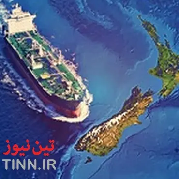
TIN news: An in-depth assessment of New Zealand's waters is set to improve maritime safety for ships, Minister for Land Information Louise Upston has announced.
"As part of ongoing work to improve safety in our waters, Land Information New Zealand (LINZ) will map areas of high risk so charting improvements can be made where they are needed most.
"LINZ's risk assessments will use location information on vessel traffic, environmentally and culturally sensitive sites, and hazards such as reefs to create ‘heat maps' that show where risks are highest.
"Working with other agencies, LINZ will use these maps to plan improvements to safety infrastructure such as charts or lights and beacons."
LINZ is responsible for charting and providing navigation services for New Zealand's Exclusive Economic Zone, covering around four million square kilometres, and it is essential all vessels are able to navigate safely.
"We're an island nation and shipping is highly important in New Zealand. By providing greater certainty on where charting improvements are needed most, we are able to get better value for money from our hydrographic survey and charting work to improve the safety of our waters," Ms Upston says.
This project complements work by Maritime New Zealand to review coastal navigation safety, and both agencies will work together to share information they collect.
LINZ will also seek feedback from harbourmasters and others involved in maritime safety and draft results will be expected in February 2016. Final results of the assessment are expected to be available by May 2016.
"As part of ongoing work to improve safety in our waters, Land Information New Zealand (LINZ) will map areas of high risk so charting improvements can be made where they are needed most.
"LINZ's risk assessments will use location information on vessel traffic, environmentally and culturally sensitive sites, and hazards such as reefs to create ‘heat maps' that show where risks are highest.
"Working with other agencies, LINZ will use these maps to plan improvements to safety infrastructure such as charts or lights and beacons."
LINZ is responsible for charting and providing navigation services for New Zealand's Exclusive Economic Zone, covering around four million square kilometres, and it is essential all vessels are able to navigate safely.
"We're an island nation and shipping is highly important in New Zealand. By providing greater certainty on where charting improvements are needed most, we are able to get better value for money from our hydrographic survey and charting work to improve the safety of our waters," Ms Upston says.
This project complements work by Maritime New Zealand to review coastal navigation safety, and both agencies will work together to share information they collect.
LINZ will also seek feedback from harbourmasters and others involved in maritime safety and draft results will be expected in February 2016. Final results of the assessment are expected to be available by May 2016.