|
Code:
120850
|
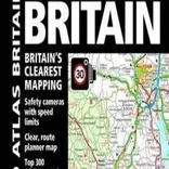
AA Road Atlas Britain ۲۰۱۷
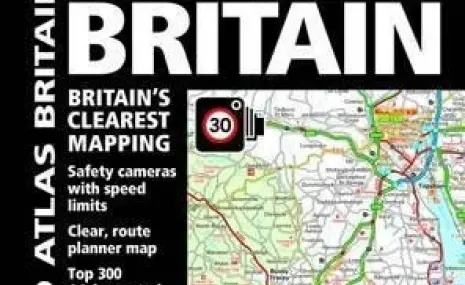
TIN news: This top-selling road atlas showcases Britain's clearest mapping from the experts at the AA. Each page has been titled with its geographical location so you can turn to the page you need more easily.Static speed camera locations with speed limits are pinpointed. Wide minor roads, National Trust, English and World Heritage, crematorium locations and other hard-to-find places are also shown.There are 102 city, town and port plans, full-colour county, unitary and administrative area map and a comprehensive 31,500 entry index with airports, top tourist sites and motorway services listed. Plus, scenic routes, tourist siteswith satnav friendly postcodes and caravan and camping sites symbolised on the mapping.The paper in this atlas is produced from environmentally sustainable resources.
Product details Format Spiral bound | 328 pages
Dimensions 220 x 297 x 15mm | 1,157g
Publication date 01 Oct 2016
Publisher AA PUBLISHING
Imprint Automobile Association
Publication City/Country Basingstoke, United Kingdom
Language English
Edition Revised
Edition statement 31st Revised edition
Illustrations note w. numerous col. maps and plans
ISBN10 0749577819
ISBN13 9780749577810
Bestsellers rank 50,798


![AIRBUS A380 [MORE THAN 600 PASSENGER’S CAPACITY PLANE]](https://cdn.tinn.ir/thumbnail/4jCp4EQvCU0b/IjHVrSYQrIAqIzXuTzADR7qLYX4idQT4nfq__26E5SCUPLMqfhWkWajvuO9Wfq1ql1TjV4dhkrHliNQU82kMpo2NNftT_NGEwHc9KXtN_rk731bmifa2IQ,,/airbus-a380-structure1.jpg)

Send Comment